

Waymo’s Driverless Cars Hit a New Problem: Flooded Streets
Flooding exposes the limits of Waymo’s expanding driverless fleet
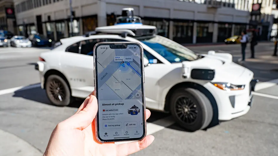
Waymo’s operational footprint has reached 14 U.S. cities after launches in Denver, San Diego, and Tampa. Regulatory clearances in California also authorized the Alphabet Inc. autonomous driving unit to expand commercial operations across the San Francisco Peninsula and Los Angeles, establishing Waymo as the largest commercial robotaxi operator in the United States.
Waymo originated in 2009 as the Google Self-Driving Car Project and reorganized as an independent Alphabet subsidiary in December 2016. Over more than a decade of development, its driverless system has logged tens of millions of commercial and testing miles on public roads.
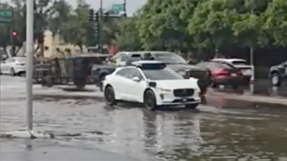
Phoenix, Arizona, became Waymo’s primary testing hub in 2017 before the company expanded to citywide commercial service and operations at Phoenix Sky Harbor International Airport. During a recent rainstorm there, a Waymo vehicle became immobilized while attempting to navigate a flooded street.

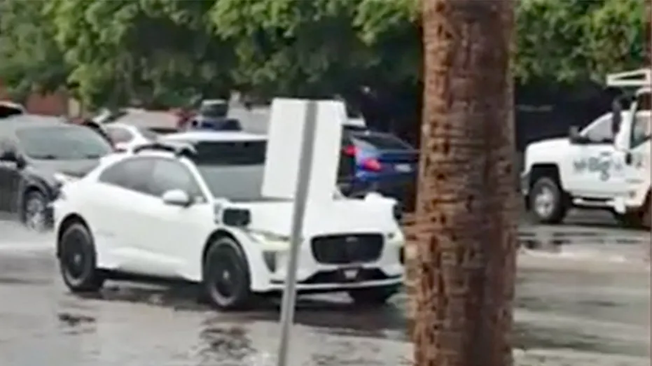
Witness Roger Pelkey, who recorded the event, said the driverless car became stuck in what he described as an “AI loop.” It remained immobilized for more than 10 minutes, repeatedly moving forward slightly and reversing. At one point, it nearly backed into an adjacent vehicle while human drivers maneuvered around the submerged roadway. Pelkey noted that a second Waymo vehicle was also delayed at the location before successfully clearing the water.
Standing water and flash flooding remain difficult conditions for autonomous vehicles, even as Waymo expands its commercial driverless ride-hailing service across major American metropolitan areas. In May, the company temporarily suspended autonomous taxi operations across several major southern and Texas markets, including Austin, Dallas, Houston, San Antonio, and Atlanta, because of localized flooding and severe precipitation. Multiple driverless vehicles encountered submerged roadways during those storms, and several became stranded in high water.
Autonomous vehicle navigation depends on multi-sensor suites that combine Light Detection and Ranging (LiDAR), radar, external audio sensors, and cameras to construct a real-time map of surrounding terrain. Reflections off flooded street surfaces can distort LiDAR depth calculations, while intense rain can make it difficult for cameras to identify lane boundaries, curb lines, or water depth.
Those conditions can trigger automated safety protocols that cause vehicles to stop or perform repetitive corrective maneuvers. As fleet sizes and geographic coverage have expanded, Waymo has issued software updates and filed voluntary recalls with the National Highway Traffic Safety Administration (NHTSA) to address navigational software anomalies.
The company previously recalled nearly 4,000 robotaxis to update software logic involved in navigating freeway construction and work zones. Other voluntary NHTSA updates have addressed mapping responses around low-speed obstacles, towed vehicles, and roadway barriers.
Waymo continues to update its software via over-the-air patches as it deploys vehicles across new climate zones and terrain types nationwide.








One Comment