
Polar Vortex May Break Three Weeks Early, and the Models Cannot Agree How Likely That Is
The winds 30 kilometres above the Arctic are forecast to fall to 9 mph on 3 November against a 58 mph average, but the reversal itself, the descent to the ground, and the destination of any cold air are three separate open questions.
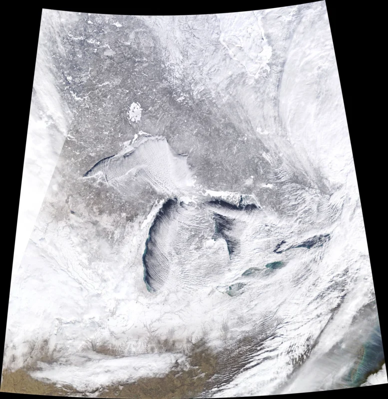
AccuWeather expected the winds circling the Arctic, about 30 kilometres up, to fall to 9 mph on 3 November. The average for the date is 58 mph, and the previous record low was 32 mph. A fall that far means the stratospheric polar vortex is weakening weeks ahead of schedule. Whether its winds turn around completely, which would make this a sudden stratospheric warming, is the question the forecasts disagree on. It would be the earliest major one on record by about three weeks.
In the European ECMWF ensemble run of 26 October, 18 of 50 members showed the winds reversing by 9 November, 36 percent, down from about 60 percent in an earlier run. An AI-based variant of the model showed it in only 3 of 50 runs. By 28 October, 86 percent of the ECMWF models predicted a reversal by 10 November, and 48 of 50 members showed one by 11 November. On 1 November, the Polar Vortex Earth monitoring site reported that all 50 members contemplated a reversal before 15 November. The percentages describe different models and different target dates, which is why they moved as the dates moved closer. The American GEFS ensemble sat at 71 percent in the update of 28 to 29 October. The AI forecasting system stayed at 37 percent.
Judah Cohen, a research scientist at the Massachusetts Institute of Technology who tracks the polar vortex, put the disruption at only 25 percent on 26 October. He told Fox Weather that it would be, almost undoubtedly, the largest and earliest disruption on record if it happened. He told Capital Weather that he did not know what was going to happen and did not think anyone else did either. His most certain impact, he told USA Today, was a milder eastern North America for much of November. The effects of a warming high above the Arctic usually take two weeks to reach the ground and recently have taken longer, arriving in late November at the earliest and more likely in December, possibly January. He said the downward influence was more likely to reach northern Europe and northern Asia than the eastern United States. He named the cause of the early signal as strong blocking high pressure over the Urals and Scandinavia, pushing large atmospheric waves upward into the stratosphere. Models that have never seen an event this early, he warned, would struggle with it.
Thirty kilometres above the Arctic, the chain that would have to run is mechanical. Waves rising from the lower atmosphere break against the westerly winds of the stratospheric vortex. The winds weaken or reverse to easterlies. The air inside the vortex collapses inward and compresses, warming by up to about 50 degrees Celsius in a few days. That is the warming in the name. Nobody on the ground feels it. What people feel, weeks later, comes through the jet stream, which the Met Office says can snake more after a warming and build blocking high pressure over the North Atlantic and Scandinavia. Northern Europe then gets a long spell of dry cold weather, southern Europe stays mild, wet and windy, and cold easterly winds develop where the two meet, with snow in some cases, as happened in early 2018.
The coupling from the stratosphere down to the surface takes two to six weeks, according to the Polar Vortex Earth monitor. The destination is a third open question after the reversal and the descent. The Weather Network wrote that Canada could bear the brunt of the cold or it could slide toward Siberia instead, and that the answer would become clearer later in November. Laura Ciasto, a meteorologist with the National Weather Service, told the Philadelphia Inquirer that the vortex was already distorted and stretched. She said such events raised the probabilities of below-normal temperatures across the eastern United States, while adding that so few of these events had happened in November that the surface impacts were uncertain. Matt Rogers of the Commodity Weather Group told Capital Weather that he thought there might be no response in North America at all. The vortex itself was forecast to stretch to 2.84 times as long as it was wide around 2 November, a shape above the 95th percentile for the date against 1991 to 2020.
The air available to send south is thin for November. AccuWeather said the coldest air was centred over northern Russia. Persistent high pressure had kept Canada’s territories and the northern Prairie provinces 10 to 20 degrees Fahrenheit above the historical average, so air arriving from the north would feel more like autumn than the Arctic until those regions cooled. The Climate Prediction Center’s Week 3 to 4 outlook, issued on 23 October, favoured above-average temperatures across much of the contiguous United States and Alaska for 7 to 20 November. Its shorter outlooks favoured above-normal temperatures across most of the country through 14 November. The outlooks said nothing about a wind reversal.
NOAA’s Climate Prediction Center reported weekly sea surface temperature departures on 26 October of 2.5 degrees Celsius above average in the Niño-3.4 region, 3.6 degrees in Niño-3 and 4.4 degrees in Niño-1+2. An El Niño Advisory was in effect. A strong to very strong event was likely through January to March 2027, with a greater than 83 percent chance. Its 8 October discussion put an 83 percent chance on the October to December relative Oceanic Niño Index reaching 2.5 degrees or more, above every El Niño since 1950, whose peak was 2.4 degrees in 1982-83. The World Meteorological Organization said the event was firmly established and strengthening rapidly and was near 100 percent likely to persist through February 2027. The Copernicus Climate Change Service reported the Niño-3.4 monthly sea surface temperature at 29.70 degrees Celsius in September, an all-time high above the peaks of 1982-83, 1997-98 and 2015-16. NOAA’s winter outlook, issued on 15 October, favoured warmer-than-average temperatures across much of the northern United States and wetter-than-average conditions from California to Florida and along the East Coast.
“I don’t care about how the cold happens or if the polar Express vortex happens,” Kelli M. Walters wrote in a comment on a forecaster’s Facebook post on 29 October. “I’m just tired of seeing the sun and it being 80+ degrees. I want cloudy, no visible sun and like 65 degrees.” Laura Anne Denton-Price, commenting on the same post, wrote that the forecast meant she needed to clear roughly a quarter of an acre inside to move plants into. Janie Johnson asked the question the ensemble percentages do not answer: “Will this be the -20 degree cold or the usual winter cold in the 30’s?” The officials in this story speak in ensemble members, lags and outlooks. The three commenters measure the same forecast in plants, sunshine and degrees, and Walters wants the cooling the headlines are threatening, from the opposite direction, after heat. None of the three said anything about a wind reversal 30 kilometres up.
ECMWF’s seasonal outlook shows a weaker-than-normal polar vortex in the middle and back half of winter, with winds dropping well below normal from late December. The four closest analog seasons, 2015-16, 1997-98, 1982-83 and 1957-58, show a stronger vortex early and a warming signal in February. A strong El Niño deepens the low over the North Pacific and sends more wave energy upward as winter goes on. In January 2016, during the last Super El Niño winter, a stretched and split vortex brought a cold outbreak to the United States, Canada and Europe. The two recent El Niño winters point in opposite directions. In 2009-10 a weak vortex brought colder conditions despite El Niño, Cohen said. In 2023-24 two sudden stratospheric warmings came with a very mild winter in the eastern United States, possibly a record mild one. Cohen’s question for this winter was whether an El Niño this strong could deflect any cold the polar vortex threw at it. His answer was that he did not know, and argued that no one else did either.
The Met Office said on 30 October that it expected a sudden stratospheric warming to start the following week and that it might also bring some dry weather deeper into November. On 5 October it had warned that neither El Niño nor polar vortex changes on their own provided a precise forecast for the United Kingdom. Christoph Gatzen, a research meteorologist at Western University, told CTV News that an early event was unlikely and that it was difficult to say which atmospheric influence mattered most. Kelsey McEwen, a meteorologist, said the exact impact on Canada remained unclear and advised Canadians to prepare for winter as they normally would. Her advice was to change tires and get the winter gear out.