

Southern California Faces Coastal Flooding Threat From Hurricane Swells and High Tides
Damaged beaches face another test as cities reinforce berms, revetments and seawalls.
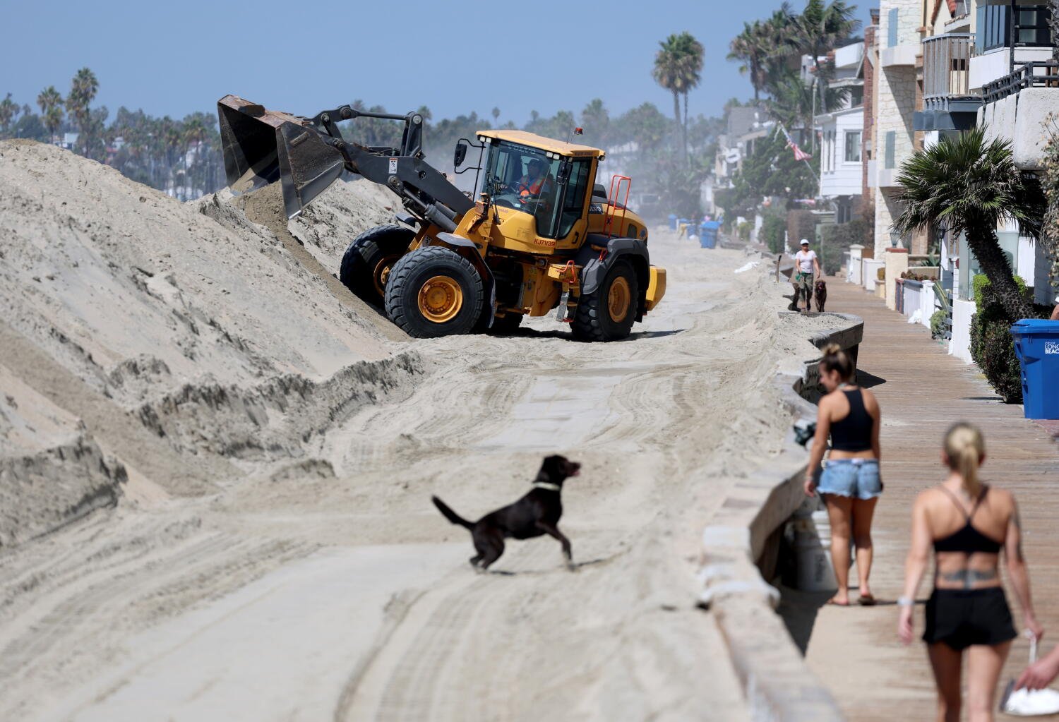
LOS ANGELES — Southern California beachgoers are being warned to stay away from the coast Sunday through Tuesday as swells from hurricanes Polo and Odalys coincide with unusually high tides. Neither Pacific storm is projected to make U.S. landfall, but their long-period waves could cause severe coastal flooding and accelerate erosion along a shoreline still recovering from damage earlier this month.
The timing is central to the risk. Regular bimonthly high tides, caused when the gravitational pull of the moon and sun align, will already have raised baseline sea levels, according to Sam Zuber, a National Weather Service meteorologist in San Diego. “We might get a little uptick in elevated surf,” Zuber said, adding that “any little bump-up in the surf is going to help contribute to those impacts.”
Coastal managers are preparing beaches left vulnerable by Hurricane Marie. Its historic waves tore away protective sand barriers, damaged piers and caused a massive sinkhole at actor Nicolas Cage’s oceanfront home in Malibu, triggering the evacuation of 31 homes. The damage prompted local emergency declarations in Malibu, Long Beach, Laguna Beach, Dana Point and Carlsbad, leaving parts of the coast susceptible to even minor increases in wave energy.


National Hurricane Center tracking places Polo off Mexico’s southwestern coast, moving away from land. Odalys is more than 1,200 miles off the southern tip of Baja California. Their distant tracks mean the swells are not arriving at the direct, south-facing angles that typically produce massive breaking waves in Southern California. Mike Wofford, a National Weather Service meteorologist in Oxnard, said the incoming surf’s precise height and the severity of localized flooding remain uncertain.
In Newport Beach, where Marie’s 10-to-15-foot swells stripped large amounts of sand from places including “The Wedge,” public works crews are reinforcing temporary sand berms along the Balboa Peninsula and Corona del Mar State Beach. City spokesperson Georgia Rios said Newport Beach is distributing free sandbags and working with Orange County officials on an expedited project to dredge sand from the Santa Ana River mouth and move it to the sand-starved west jetties.
The hurricanes could affect conditions beyond the surf zone beginning Sunday, with their effects peaking Monday and Tuesday. Moisture drawn northward from the storms is expected to raise relative humidity by 10% to 15% across Southern California. In the San Diego forecast area, which includes Orange County and the Inland Empire, more cloud cover is expected to hold down daytime temperatures, offering some relief from the humid conditions. Wofford said there is a marginal, sub-10% chance of rain showers if either hurricane moves closer to the coast.
Cities are also preparing for a potentially highly active, rain-heavy winter driven by El Niño-charged storms. Governor Gavin Newsom issued a statewide emergency declaration this week to speed regional preparations. Pacific Coast ocean temperatures are elevated by long-term global warming, seasonal weather patterns and a strengthening El Niño phase in the equatorial Pacific. Warmer water provides additional thermal energy for tropical storms and raises local sea levels through thermal expansion, pushing tide lines higher.
Further south, multi-million dollar residential developments stand directly on the beach in Dana Point. City spokesperson Jessica Spaulding said crews are monitoring swell forecasts and placing heavy rock revetments—large boulders known as riprap—along Beach Road to absorb wave energy and prevent structural undermining. In San Diego County, Carlsbad City Manager Geoff Patnoe said municipal staff are tracking the storms and taking proactive steps to secure and maintain vulnerable coastal infrastructure, including roads and seawalls, before the high tides and swells arrive.










One Comment