

Southern California October Heat Wave Shatters Records
Downtown Los Angeles logs its longest streak of 100-degree October days on record while forecasters warn overnight lows offer little relief.
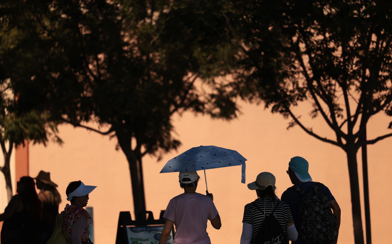
Downtown Los Angeles recorded its longest consecutive streak of 100-degree days in October since weather tracking began in the late 1800s, as an entrenched high-pressure ridge continues to deliver extreme heat across Southern California well into the fall season.
The National Weather Service offices in Oxnard and San Diego extended extreme heat warnings through 8 p.m. Thursday. Forecasters project daytime highs between 15 and 22 degrees above normal, pushing coastal and valley thermometers into the 90s and low 100s. Even beach communities, typically buffered by ocean breezes, are seeing temperatures reach the upper 80s.
Overnight lows offer minimal recovery. Much of the region is experiencing nighttime temperatures only dropping to the upper 60s or mid-70s. Meteorologist Rose Schoenfeld at the NWS Oxnard office warned that prolonged exposure without overnight cooling places compounding physiological stress on residents, particularly young children and older adults vulnerable to heat exhaustion and stroke.


Record-breaking temperatures swept through the region over the weekend and into early this week. Downtown Los Angeles hit 104 degrees Monday, surpassing the previous daily record of 101 set in 1954 and tied in 1971. Burbank Airport reached 101 degrees Sunday, breaking a 1964 mark. Anaheim topped out at 101, eclipsing its 2020 record of 98. San Diego also crossed the century mark, shattering a 1987 record of 97 degrees. In Ventura County, Camarillo hit 99 degrees and Oxnard reached 99, both setting new daily highs.
Historically, downtown Los Angeles averages fewer than one 100-degree day per October. The current event has already tied the total number of triple-digit days recorded during the entire months of October in 1958 and 1971.
A convergence of meteorological factors is driving the anomaly. A stubborn high-pressure system is forcing air downward, compressing and warming it before it reaches the surface. Simultaneously, down-sloping offshore winds—often associated with Santa Ana conditions—are accelerating the heating process. Unlike typical autumn wind events that bring dry air from the Great Basin, this pattern is interacting with unusually warm Pacific Ocean waters. Elevated sea surface temperatures, partially influenced by El Niño dynamics, have suppressed the marine layer and weakened the coastal sea breeze that normally acts as natural air conditioning for the Southland.
Coastal Southern California frequently experiences warmer conditions in September and October than in June or July. During early summer, a persistent marine layer of low clouds and cool air caps the coast. By autumn, that layer usually retreats. However, climate scientist Daniel Swain with UC Agriculture and Natural Resources noted that while seasonal warming is expected, the duration and intensity of the current stretch are extraordinary.
Swain cautioned against expecting a sudden weather shift. Models indicate significantly above-average temperatures will persist across Southern California and potentially the broader West for the foreseeable future, positioning this month as one of the warmest Octobers on record.
In response, the Los Angeles Department of Public Health activated dozens of cooling centers across the county. Officials urged residents to remain hydrated, limit outdoor activity during peak afternoon hours, wear lightweight clothing, and seek air-conditioned environments whenever possible.
Some marginal relief may arrive by the weekend. Forecast models suggest temperatures could ease into the mid-80s, accompanied by a slight chance of light showers Sunday as moisture from Hurricane Rachel, currently tracking across the eastern Pacific Ocean, interacts with the regional atmosphere. Eastern Pacific tropical cyclones rarely make landfall in California, but their remnants can occasionally pull subtropical moisture northward, triggering precipitation events historically referred to as “Tropical Storm Hilary-type” setups, though direct impacts from Rachel remain limited to increased cloud cover and isolated rain chances.