
Can a Tarp Hold the Pacific Coast Highway Against El Niño?
Caltrans has $4 million and a three-phase plan for the 360-foot crack at Crystal Cove. The governor's Highway 1 Task Force has no deadline, and the long-term fix has no design yet.
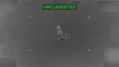
Greg Viviani flew his drone over El Morro on 18 October, at about 12:30 in the afternoon, and filmed the slope below Pacific Coast Highway with its earth exposed and its plastic sheeting going down in strips. Workers in high-visibility vests were securing the sheets against the bluff. Traffic moved past the cones. “I am very concerned as well as everyone else should be,” Viviani wrote under the video, which he posts as @solaglocal. “Hopefully CalTrans and the state will figure out the best safest fix asap!”
Blair Conklin had filmed the same bluff five days earlier, on 13 October, when the fracture was still bare earth and brown water churning at its base. Conklin, a Laguna Beach skimboarder who surfs the fickle break at El Morro, told Surfer the cliff close to the highway was falling and the brown water showed why. “The cliff side right here this close to PCH is falling… that’s why all this water is so brown,” he said. He put the crack about 10 feet from the road and predicted a major collapse could happen in the coming days. September’s Hurricane Marie swell, he said, had left the least amount of sand he had ever seen on South Laguna beaches in his lifetime. In the caption under a video he posted on 16 October, he wrote: “Hopefully this bluff can hold through this weekends run of waves.”
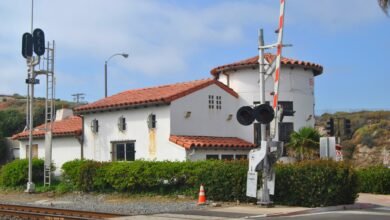
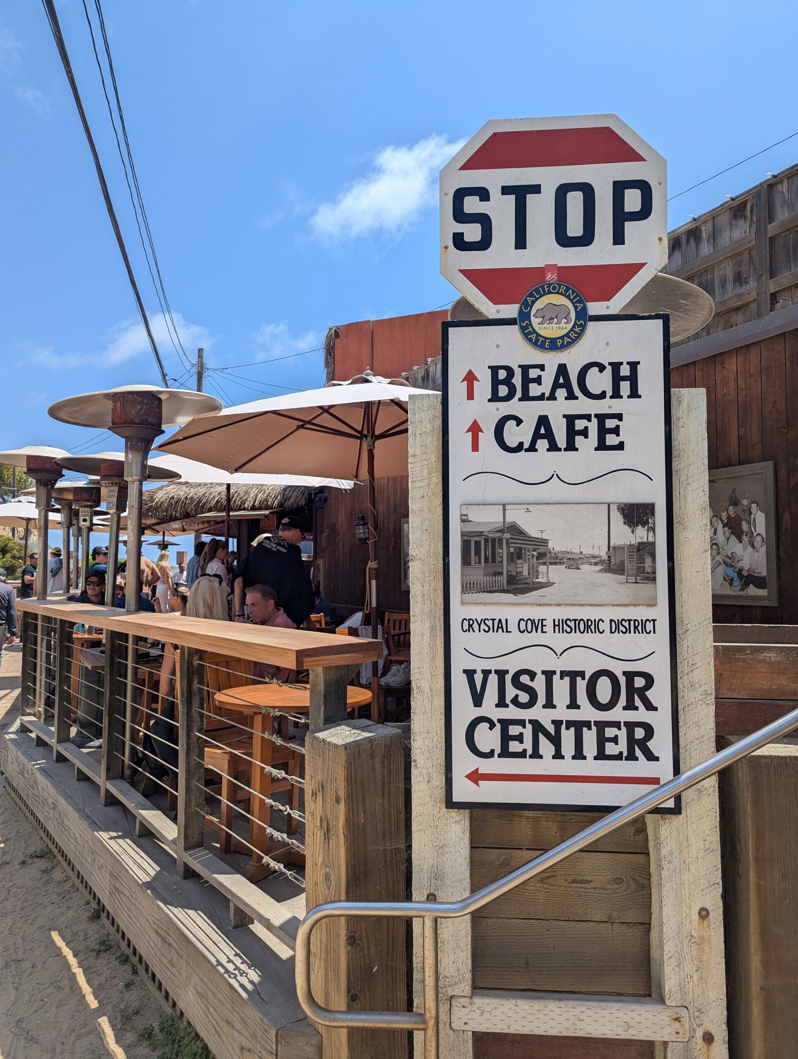
The crack runs about 360 feet long and up to 2 feet wide in the slope below the highway near the Moro Beach section of Crystal Cove. It was first spotted on 10 October, after high tides and waves had battered the bluff, and the right southbound lane closed from Reef Point Drive to Irvine Cove Drive. A day earlier, on 9 October, California State Parks had evacuated the occupants of 26 historic beachfront cottages at Crystal Cove as a precaution, citing significant coastal erosion and infrastructure damage after high surf and large waves from former Hurricane Rachel. El Morro was once home to nearly 300 mobile homes on both sides of the highway, removed by the state in the mid-2000s when the land became public recreation. The cottages that replaced that history in the park’s Historic District date from the 1920s and 1930s.


Caltrans secured $4 million in initial emergency funding and brought in contractor Ortiz Enterprises. The repair runs in three phases: plastic sheeting to keep rainwater out of the slope, rock armor and buttressing at the base to absorb wave energy and hold the slope, and a long-term stabilization approach drawn from geotechnical data and worked out with California State Parks. The sheeting was up within days, and the second phase had started by 20 October. Laguna Beach City Manager Dave Kiff said the emergency had drawn attention from officials in Sacramento. “Caltrans has their best people on it, I’m convinced of that,” Kiff said. Caltrans spokesperson Christianne Smith said the agency was not concerned about any other stretch of the highway. “We’re primarily focused on the Moro Beach slope near Crystal Cove, where the crack formed,” she said. By 26 October the first phase, sheeting and sand barriers, was reported complete by Surfer, and traffic was running one lane in each direction using the northbound side. Near El Morro Elementary, school buses kept running as normal while the district drew up reroute plans in case the road had to close with a couple of days’ notice. As of 20 October, Caltrans was still expecting approval from California State Parks and the California Coastal Commission to close both southbound lanes and send southbound traffic down one northbound lane. A completion date for the whole project has not been published, and the agency has not said whether $4 million will be enough.
Governor Gavin Newsom signed the two executive orders on 27 October at Crystal Cove State Park, the same park that holds the cracked slope. One creates a Highway 1 Task Force led by the California State Transportation Agency and the California Natural Resources Agency, to identify the highway’s vulnerable stretches, recommend priority actions and funding, and find ways to get preventive work done faster. It directs Caltrans to prioritize landslide prevention where practicable and State Parks to assess how closures and repairs affect parks and public access. The second order, building on the statewide El Niño emergency proclamation of 21 September, allows the suspension of state requirements for eligible public-agency work to limit flooding, landslides, debris flows and erosion. It requires advance eligibility approval and safeguards for fish, protected species and waterways. California’s natural resources secretary, Wade Crowfoot, said the marine heat wave off the coast had already raised sea levels by a full foot. “El Niño is nothing new for California but this year’s conditions are super-charged by an alarming marine heat wave off our coast,” he said.
On 15 October, 12 days before Newsom signed the orders, Viviani filmed the fracture and argued in his caption for more coastal armoring and sand replenishment, and against waiting for sand to come back on its own. “THIS highway must remain open and secure to drive on. Any loss of this section of highway is going to be a major problem,” he wrote, calling the road a major emergency evacuation corridor and traffic artery for the surrounding cities. “Humans caused the problems, and humans can fix the results of those problems.” A Threads user posting as @sallybackdurham warned Korean-speaking followers on 13 October, in Korean, that the cliff below Highway 1 near the Crystal Cove lifeguard headquarters toward Irvine Cove was cracking and looked very dangerous, and urged them to drive carefully. The task force has been given a job and two lead agencies, but no dated deliverable has been published. The third phase of the Crystal Cove repair has no published design and no date. Viviani asked for armoring and sand replenishment. The task force was told to find ways to get preventive work done faster.
Emergency project spending on the Big Sur Highway 1 corridor totaled approximately $312 million from 2020 through 2026, according to the governor’s office. Paul’s Slide closed the road on 14 January 2023 and kept it shut until 23 June 2024. Regent’s Slide struck on 9 February 2024, six miles to the north, while Paul’s Slide was still being repaired, and full access between Carmel and Cambria was restored only on 14 January 2026, about 90 days ahead of schedule. Crews used remotely operated bulldozers and excavators on ground too steep for standard machines, and drilled more than 4,600 steel bars up to 60 feet long into the hillside in a grid to tie its layers together. Crystal Cove’s $4 million emergency response is a much smaller job than Big Sur’s, on a slope that has already lost sand, seen 26 cottages evacuated and had one lane of the highway closed.
The winter the repair must survive is the one federal forecasters have been measuring since the summer. The Climate Prediction Center’s ENSO Diagnostic Discussion of 8 October kept its El Niño Advisory in place and reported Niño-3.4 at 2.1 degrees Celsius above average, Niño-3 at 3.0 degrees and Niño-1+2 at 3.9 degrees, with subsurface temperatures more than 10 degrees above average at depth in the eastern Pacific. The centre put the chance that the three-month Relative Oceanic Niño Index reaches 2.5 degrees or more in October to December at 83 percent, a level that would exceed every El Niño since 1950. The same discussion put the chance of strong-to-very-strong conditions lasting through January to March 2027 at more than 83 percent. Those are two different 83 percents. The centre added its own limit: with an event of this magnitude the chances of experiencing impacts consistent with El Niño are larger, though not guaranteed. Its next discussion is scheduled for 12 November.
The scenario California’s planners built for a winter like this is called ARkStorm, after the atmospheric rivers that would drive it. The second version of it, published in Science Advances in 2022 by Xingying Huang and Daniel Swain, found that climate change had probably already doubled the risk of an extremely severe storm sequence on the scale of the Great Flood of 1861-62. The original 2011 United States Geological Survey scenario put losses at up to $725 billion, about $1 trillion in 2022 dollars, roughly three times the damage of a magnitude 7.8 earthquake on the San Andreas fault. Swain told USA TODAY he was concerned about this winter, because the risk of a severe ARkStorm-like flood from weeks of heavy precipitation was more likely in a year like this one. Scripps research meteorologist Marty Ralph called atmospheric rivers the wild card for the winter, and research hydroclimatologist Michael Dettinger said the connection between El Niño and sustained strings of strong atmospheric-river landfalls remained hazy overall. The winter of 1861-62 was not an El Niño winter at all, and only six of the 13 costliest California flood years since 1950 came during El Niño years. Rain fell on 28 of 30 days between late December 1861 and late January 1862, San Francisco recorded nearly 34 inches, and an inland sea stretched some 300 miles. Jan Null of Golden Gate Weather Services told USA TODAY that flood controls built since then changed the comparison. “For flood control reasons alone, I do not think a similar meteorological event this year would rival the scope of 1861-62,” he said.
Caltrans has staged storm-response equipment at more than 120 maintenance yards across the state, with about 1,300 pieces of winter operations equipment ready to deploy, and crews in all 12 districts ready to move to 12-hour emergency shifts. The beach below the unstable bluff at Crystal Cove is shut. The highway above it is open, one lane in each direction, with plastic sheeting over the crack and rock work under way at its base.