

Xinjiang Glaciers Losing Area as Temperatures Surge
Temperatures rising 1.7 times faster than the global average are fueling ice collapses and expanding wetlands across northwestern China.
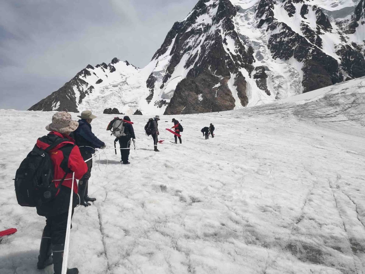
Xinjiang is warming at 0.34 degrees Celsius per decade — nearly double the global average — driving a catastrophic loss of ice that threatens water security and disaster resilience across northwestern China and Central Asia.
The region, which holds more glacier reserves than any other province-level division in China, has shed 2,167 square kilometers of glacial surface area since the 1990s. A comprehensive scientific survey released Saturday confirmed that Xinjiang currently contains 24,202 glaciers spanning 23,629 square kilometers. The Xizang Autonomous Region ranks second nationally in total glacier reserves.
These findings emerged from China’s Third Xinjiang Scientific Expedition, a five-year initiative launched in 2021 by the Ministry of Science and Technology. Unlike the first two surveys conducted in the 1950s and 1980s, which functioned primarily as static resource inventories, the current mission deployed remote sensing satellites and drones to capture real-time data on ecological shifts, mineral deposits, biodiversity, and hydrological changes. Forty-six national research institutions contributed more than 6,000 person-times of fieldwork to the project.


Li Zhongqin, a glacier researcher at the Chinese Academy of Sciences’ Northwest Institute of Eco-Environment and Resources, identified global warming as the primary driver behind the accelerated melt. Because Xinjiang’s temperature trajectory outpaces both national and global averages by significant margins, the physical consequences are already reshaping the landscape. Surface areas of lakes and wetlands across the region have expanded by roughly one-third, a direct result of melting ice feeding into previously dry or stable basins.
For an arid inland region where agriculture and urban centers depend entirely on snowmelt-fed rivers, this transformation presents immediate hazards. Short-term increases in river runoff mask severe long-term depletion risks. As glaciers shrink, downstream communities face escalating threats from ice avalanches, mudslides, and flash floods. Li warned that structural glacier collapses are likely to become frequent events rather than isolated anomalies.
The crisis extends beyond China’s borders. Xinjiang shares high-altitude watersheds with several Central Asian nations, making glacial retreat a transnational emergency. Researchers involved in the expedition established joint cross-border monitoring programs, including a UNESCO-recognized project focused on Tajikistan. The team produced a comprehensive atlas of Tajik glaciers to help local authorities predict future melt trends and prepare for glacial lake outburst floods — sudden, catastrophic releases of water trapped behind unstable ice dams that frequently devastate downstream settlements in the Pamir Mountains.
Li Zhi, a researcher at the CAS Xinjiang Institute of Ecology and Geography, noted that scientific cooperation between Beijing and Dushanbe stems from shared vulnerabilities to desertification and water scarcity. Both nations rely heavily on the Amu Darya and Syr Darya river basins, whose headwaters are sustained by glacial systems now under severe thermal stress.
China’s previous major glacial assessments were separated by decades, leaving researchers reliant on outdated baselines during a period of unprecedented climate volatility. The shift toward continuous satellite and drone-based monitoring marks a fundamental change in how the country tracks cryospheric decline, moving from periodic census-taking to active hazard surveillance.